Log in
All resources
Create a design
33,112 Free Images of Lithographed Maps
maps in the library of congress
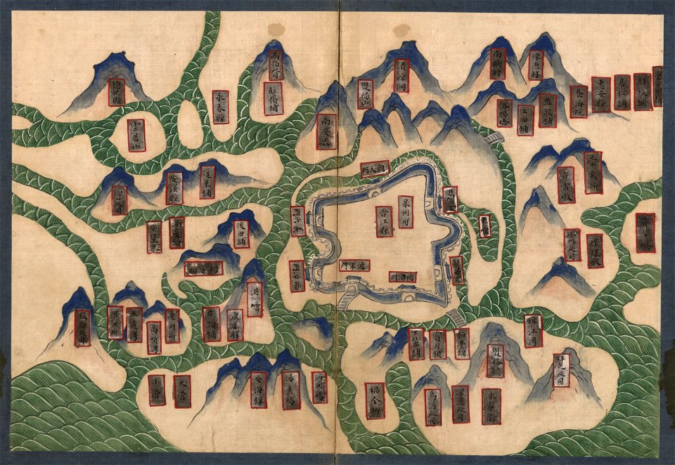
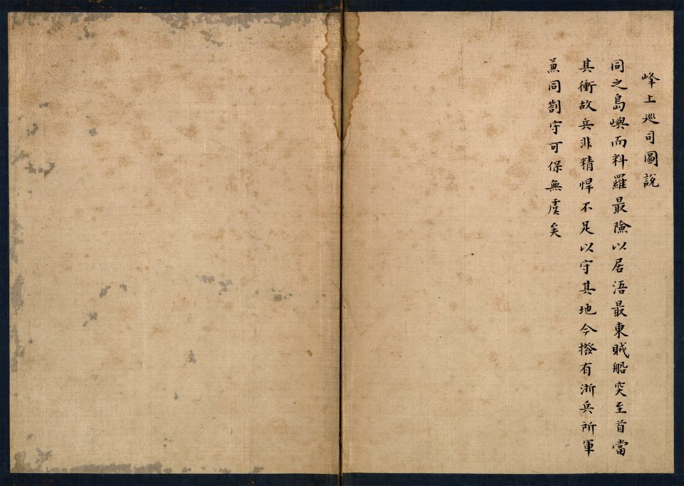
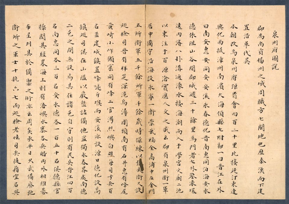
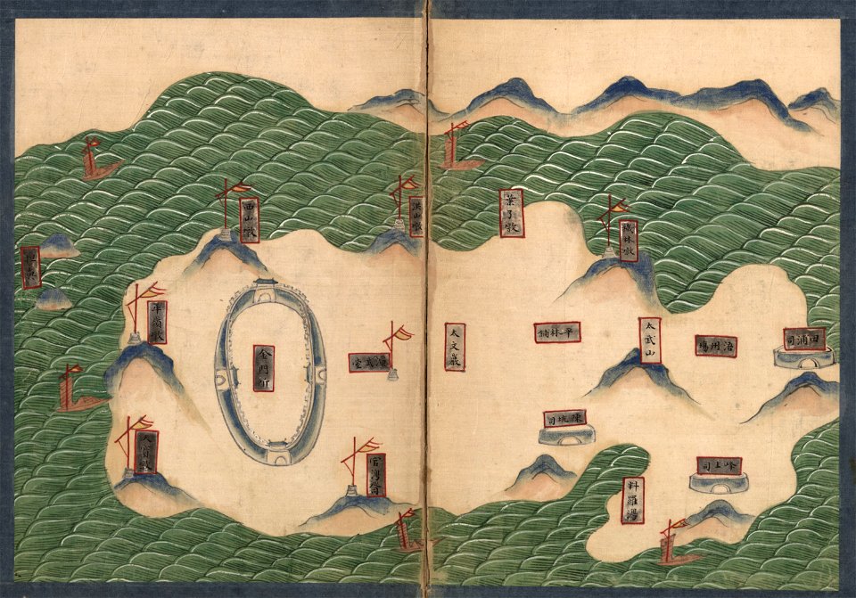
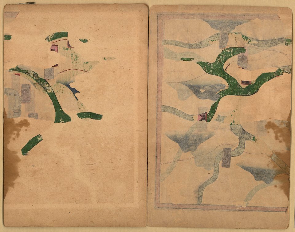
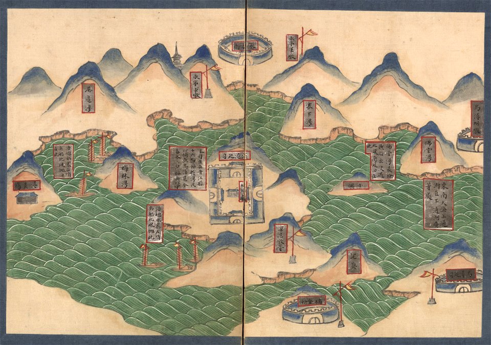
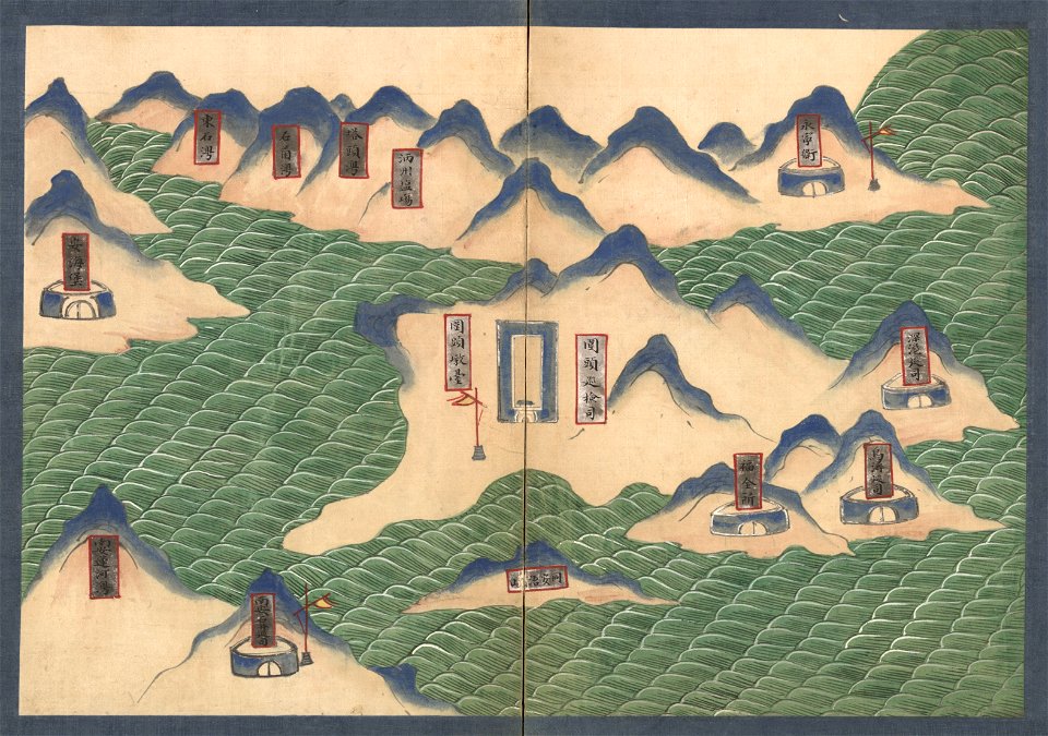
quanzhou fu yu di tu shuo
geographical illustrations by coronelli
old maps of the peloponnese
ohio
caldwell's atlas of madison co.
bibliothèque municipale de reims
cosmographia - beschreibung aller lender durch sebastianum munsterum (1545)
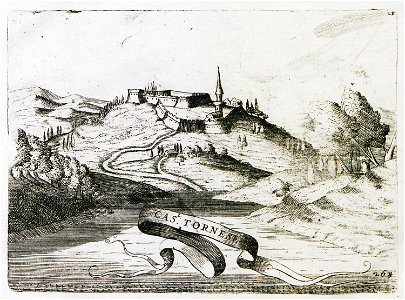
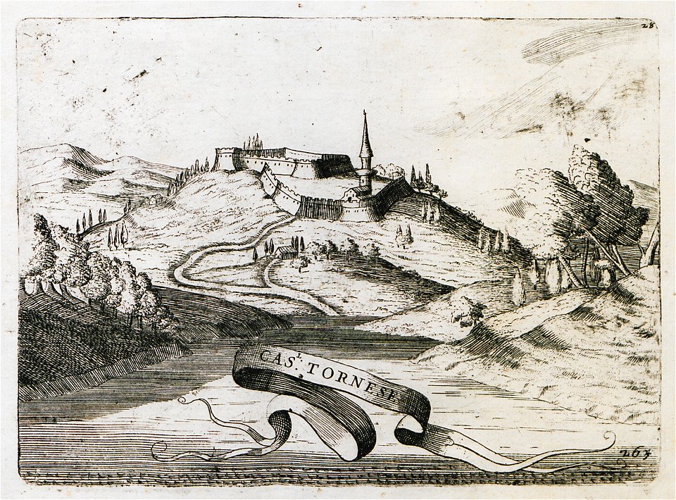
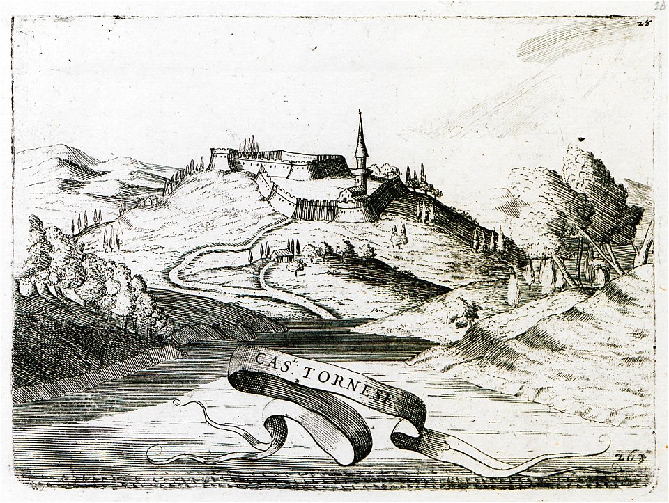
coronelli's cas. tornese
johann christoph brotze
maps in the library of congress
ohio
maps in the library of congress
ohio
maps in the library of congress
ohio
maps in the library of congress
ohio
maps in the library of congress
ohio
bibliothèque municipale de reims
rès. g 152
atlantis magni tomus tertius (biblioteca comunale di trento)
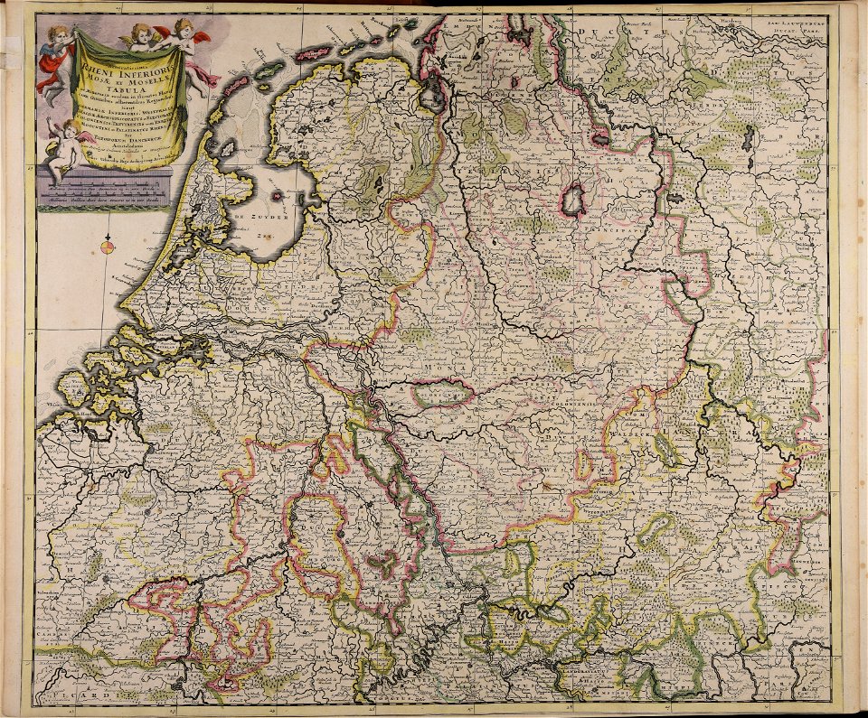
1690s maps of germany
geographical illustrations by coronelli
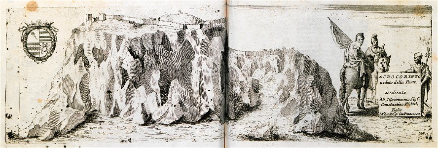
acrocorinth in art
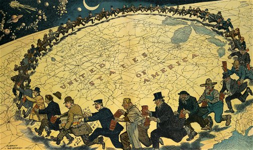
puck
1910
old maps of islands of the aegean sea
agathonisi
atlas de wit 1698
frederick de wit
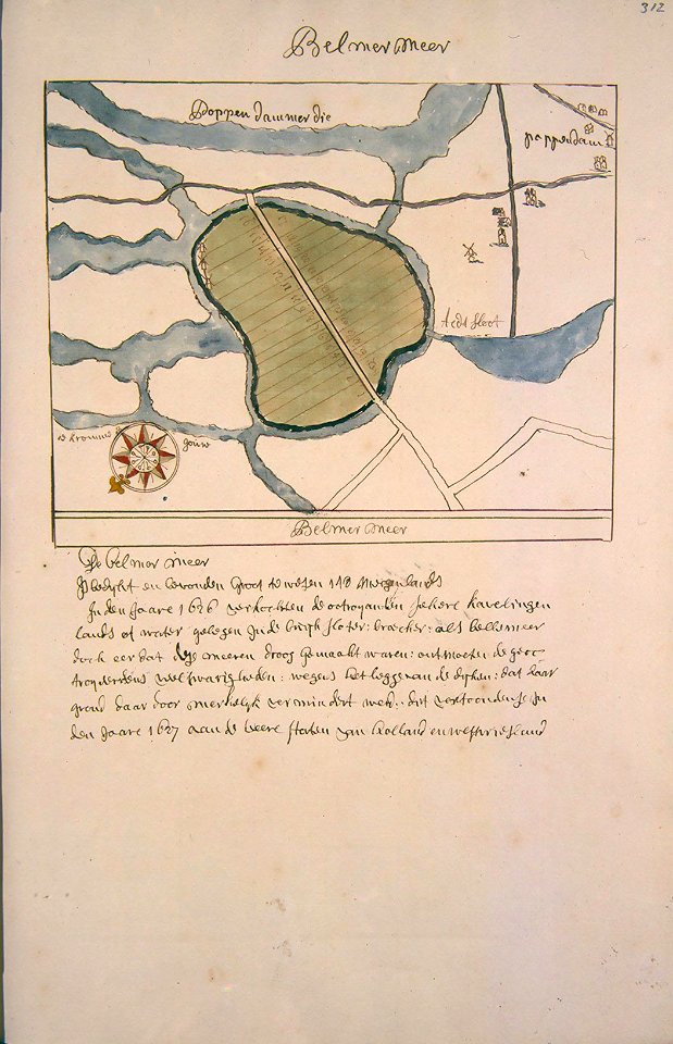
old maps of groningen (province)
frederick de wit
maps by brockhaus
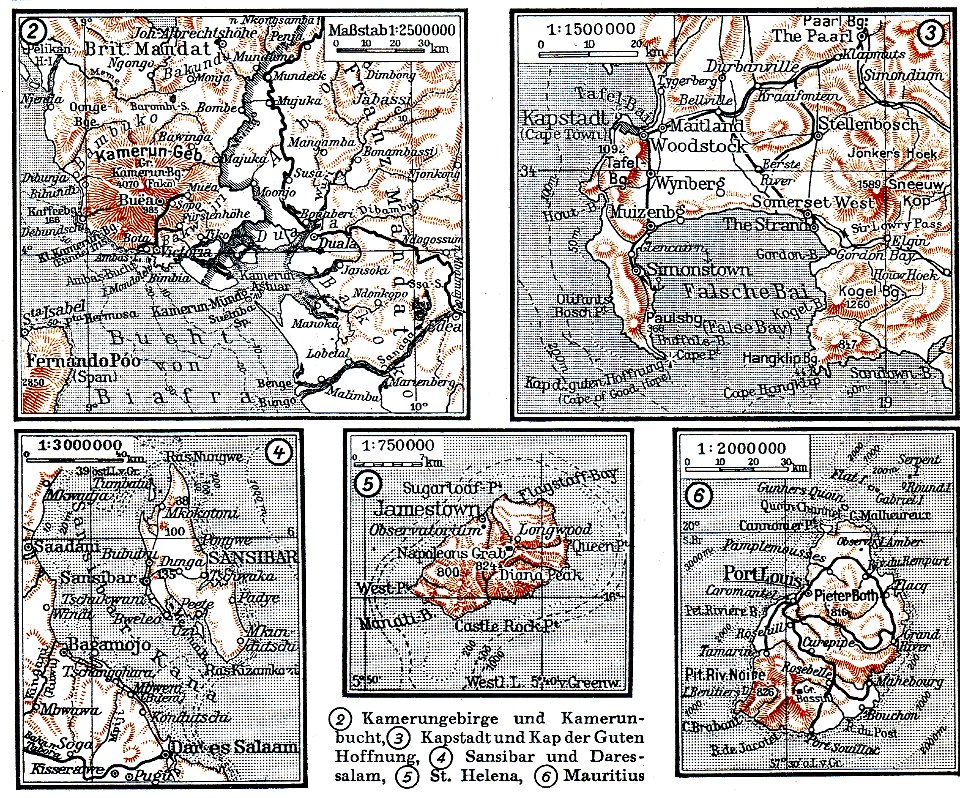
mount cameroon
bibliothèque municipale de reims
rès. g 152
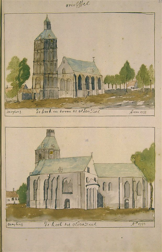
grote of lebuïnuskerk
old maps of deventer
atlas schoemaker
oldenzaal
atlas schoemaker-noord-holland
atlas schoemaker
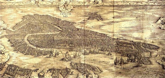
images of venice by jacopo de' barbari
maps in the museo correr
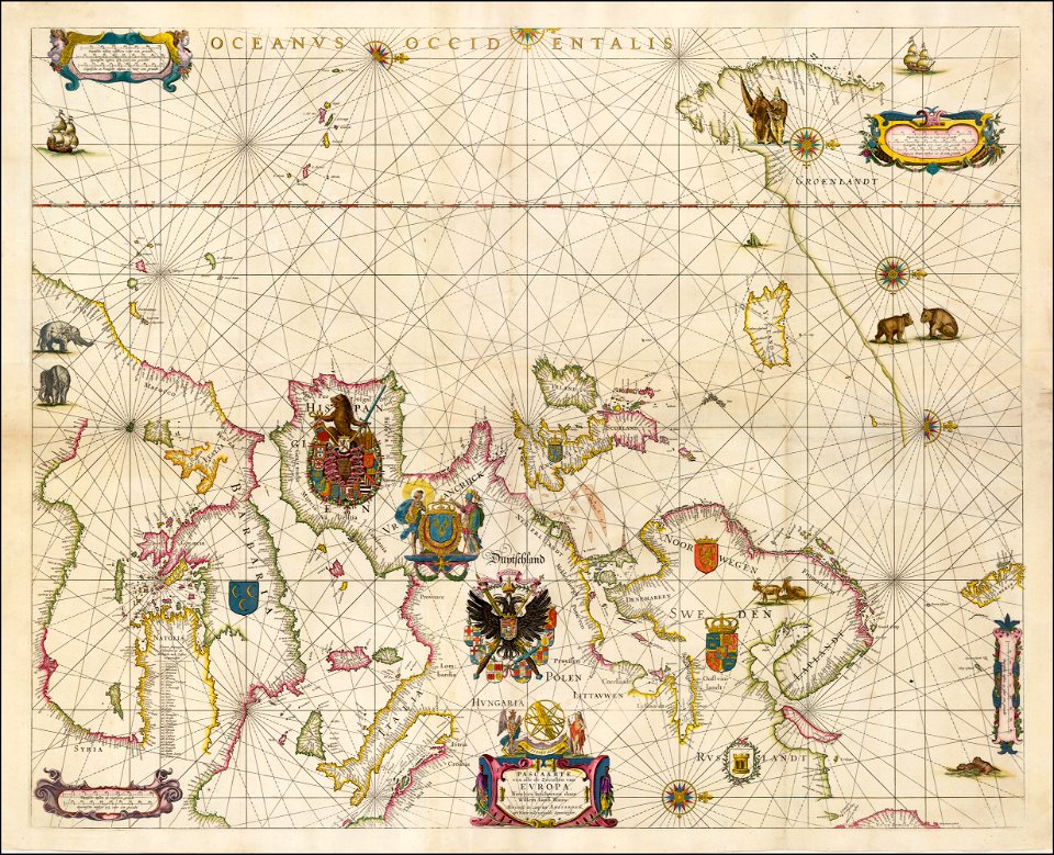
portolan charts by willem and johannes blaeu
17th-century maps of europe
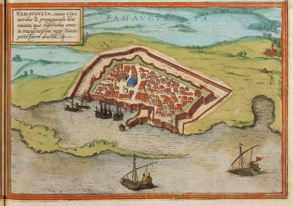
old maps of cyprus
braun & hogenberg
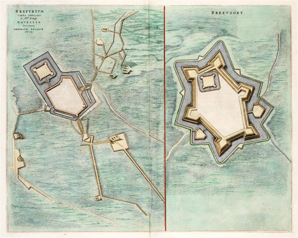
old maps of bredevoort
1597
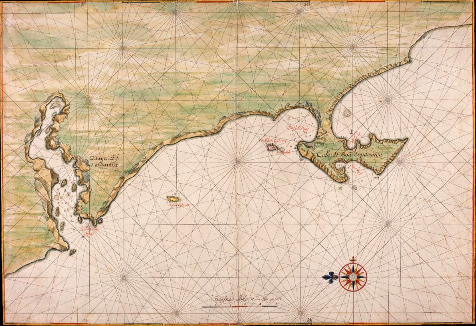
maps of the dutch east india company - south africa
gerard van keulen
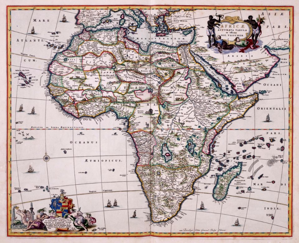
old maps of the dutch east india company - africa
nicolaes visscher ii
gerard van keulen
1720s
johannes vingboons
1665
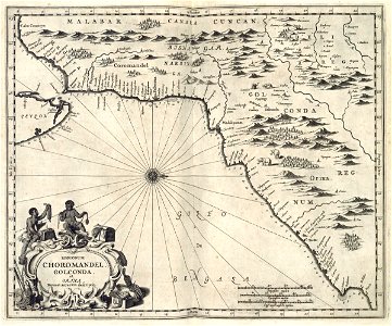
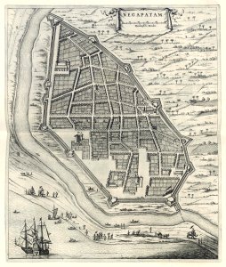
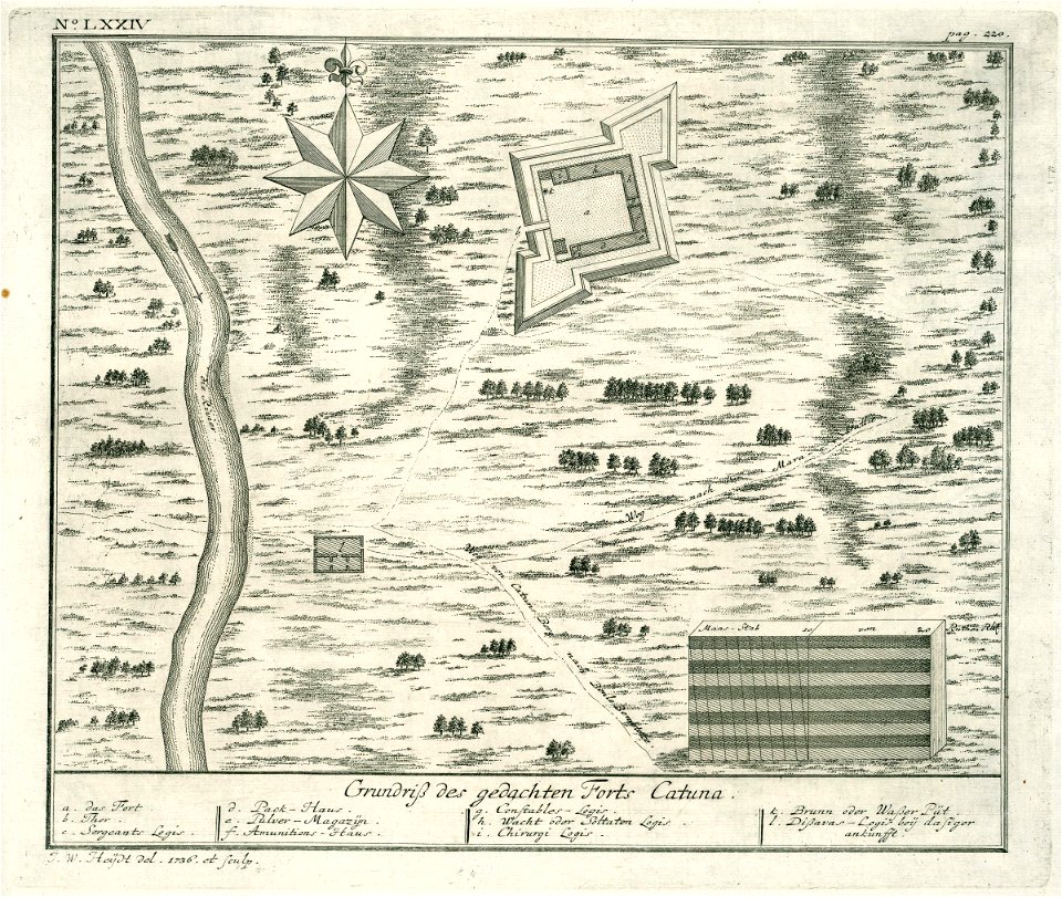
maps of the dutch east india company - india
1672
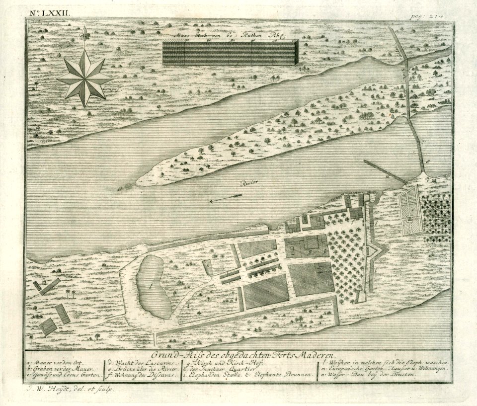
maps of the dutch east india company - india
1672
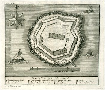
maps of the dutch east india company - sri lanka
1736
maps of the dutch east india company - sri lanka
1730s
maps of the dutch east india company - india
1709
maps of the dutch east india company - sri lanka
1730s
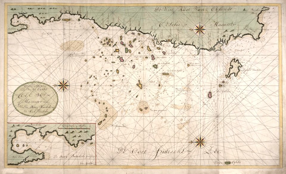
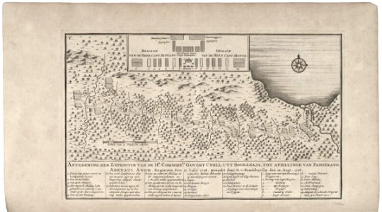
maps of the dutch east india company - indonesia
1724
maps of the dutch east india company - indonesia
1724
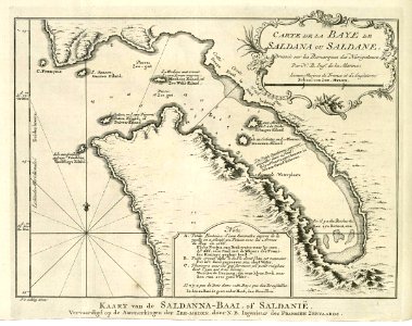
saldanha bay
1747)
maps of the west-indische compagnie
1772
frederick de wit
netherlands
geographical illustrations by coronelli
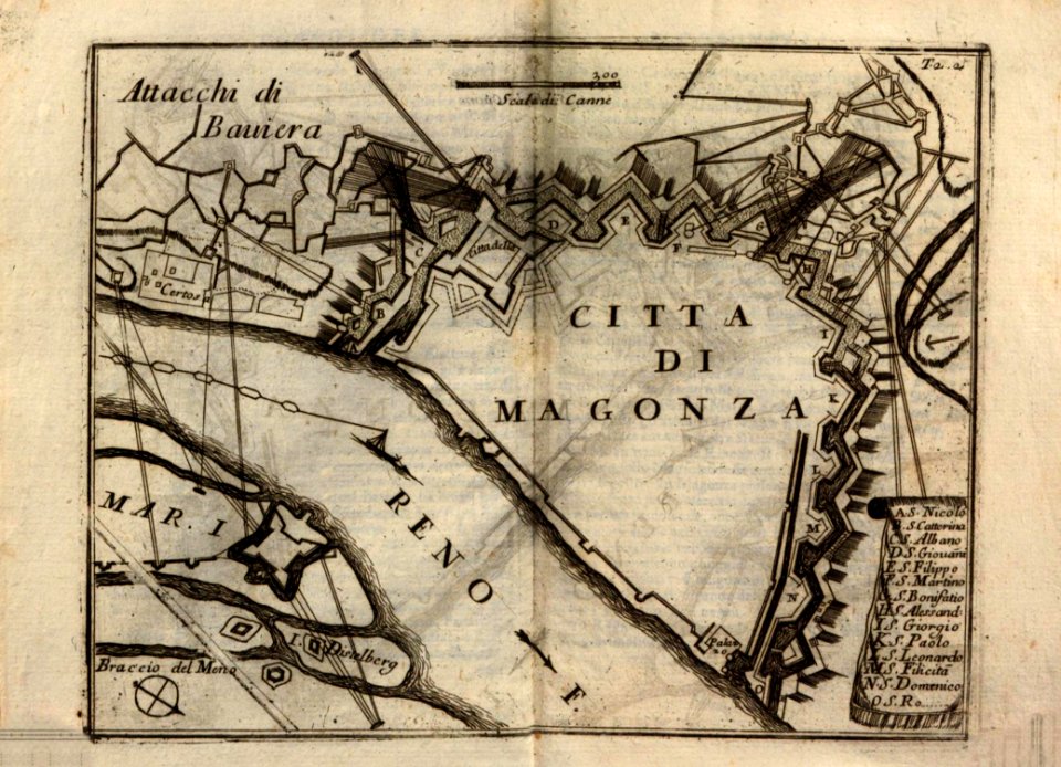
historical maps of mainz
cosmographia - beschreibung aller lender durch sebastianum munsterum (1545)
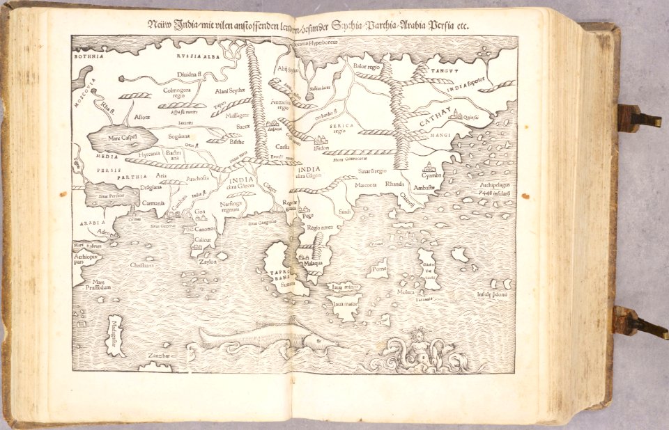
1540s maps of asia
cosmographia - beschreibung aller lender durch sebastianum munsterum (1545)
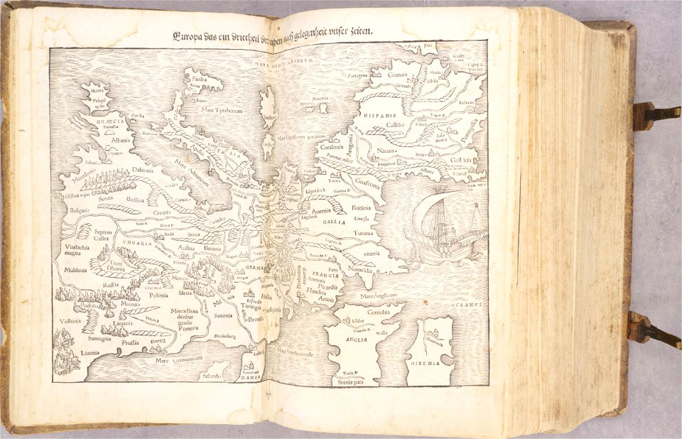
1540s maps of europe
cosmographia - beschreibung aller lender durch sebastianum munsterum (1545)
1540s maps of africa
cosmographia - beschreibung aller lender durch sebastianum munsterum (1545)
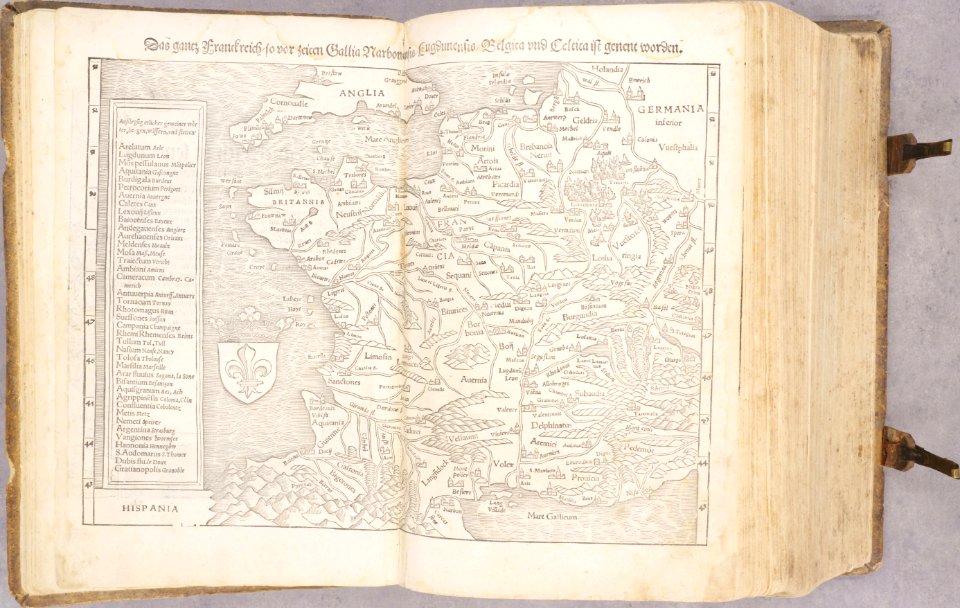
old maps of france
old maps of chartres
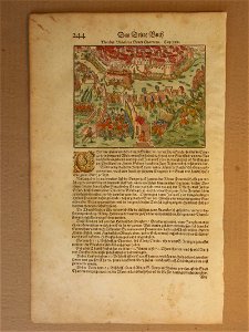
battles in art
geographical illustrations by coronelli
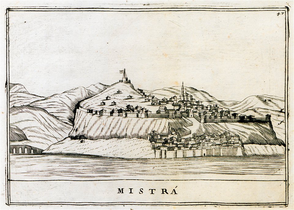
old maps of the peloponnese
geographical illustrations by coronelli
old maps of the peloponnese
geographical illustrations by coronelli
old maps of the peloponnese
geographical illustrations by coronelli
old maps of the peloponnese
voyage dans la macédoine (1831)
old maps of macedonia
collection de la bibliothèque municipale de reims
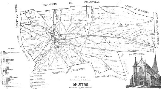
old maps of aube
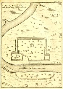
description de la chine
xiangyang
encyclopaedia universalis mundaneum
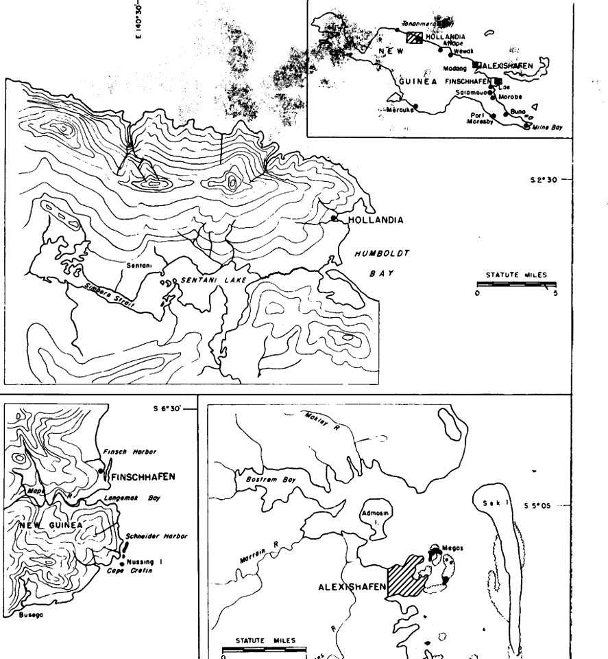
pacific
military bases of the united states
old maps of papua new guinea
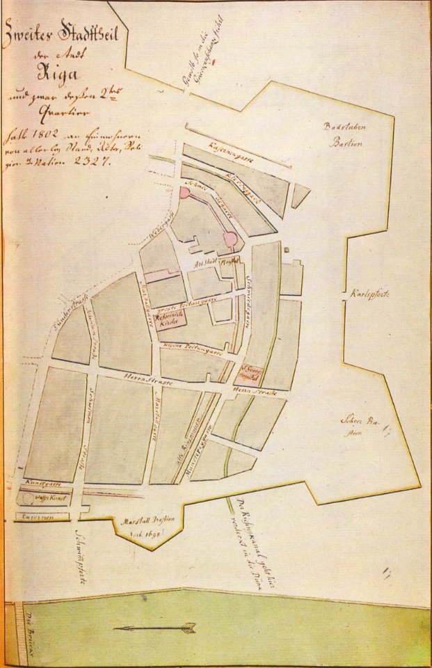
johann christoph brotze
old maps of riga
johann christoph brotze
old maps of riga
american revolutionary war
scrimshaw
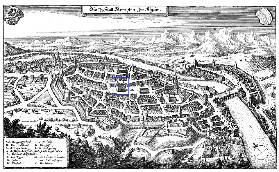
coats of arms of kempten (allgäu) (1488)
old maps of kempten (allgäu)
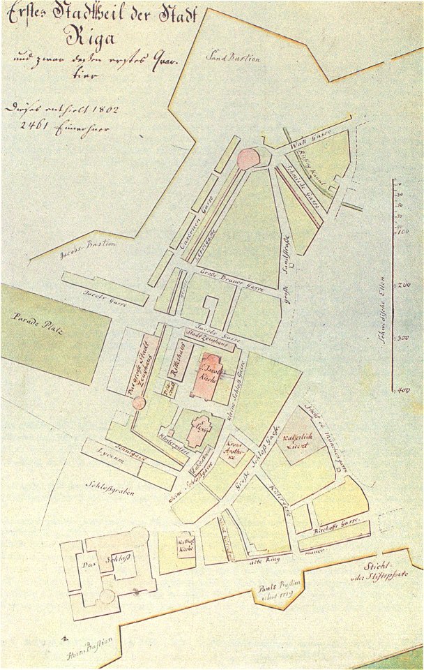
johann christoph brotze
old maps of riga
johann christoph brotze
old maps of riga
prints from pieter christiaansz bor nederlantsche oorloghen
maps of the dutch republic
geographical illustrations by coronelli
old maps of the peloponnese
geographical illustrations by coronelli
old maps of the peloponnese
bibliothèque municipale de reims
rès. g 153
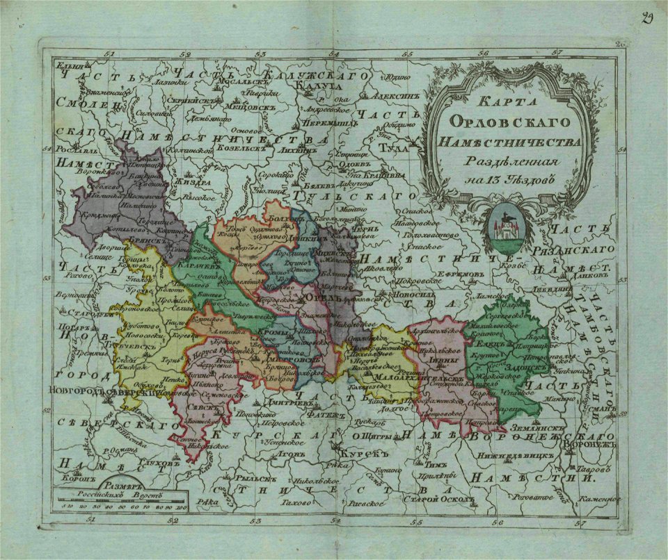
small atlas of the russian empire (1796)
old maps of oryol governorate
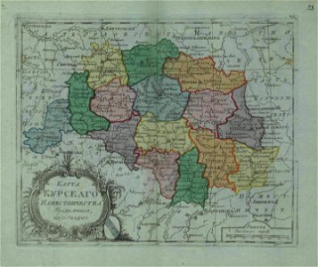
small atlas of the russian empire (1796)
old maps of kursk governorate
description de l'universe
1683 maps of africa
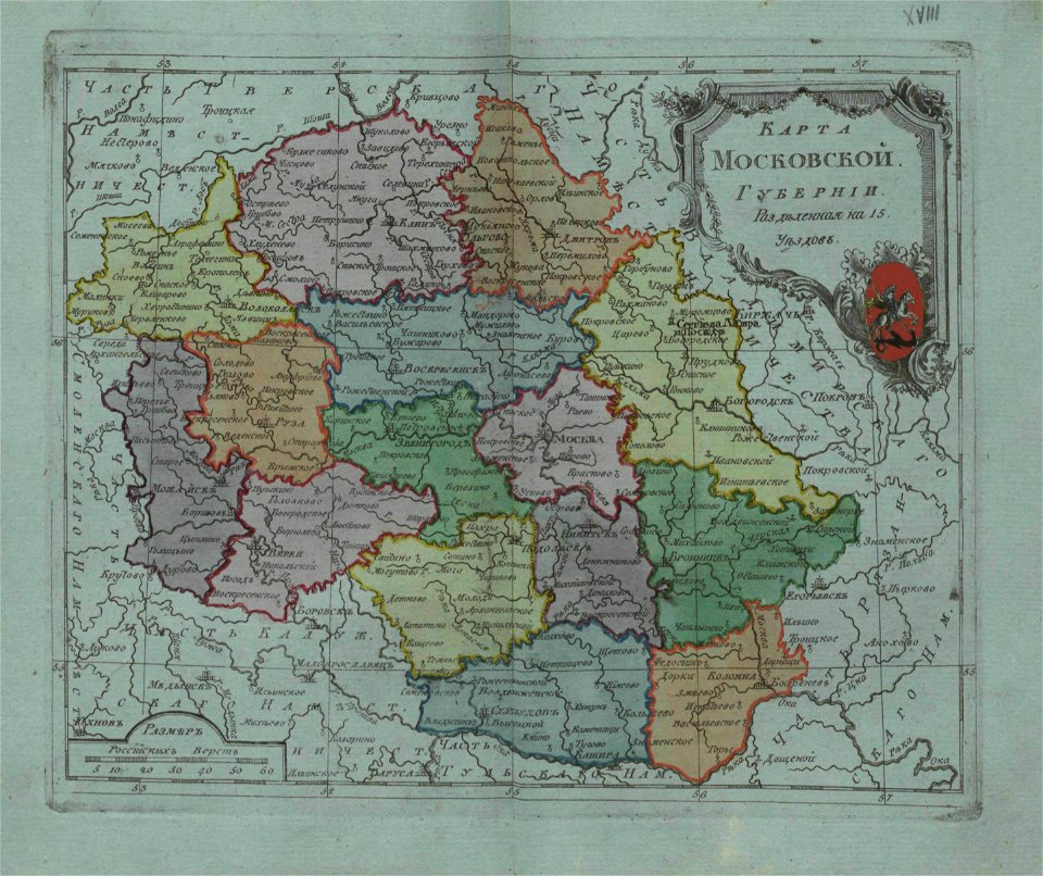
small atlas of the russian empire (1796)
old maps of moscow governorate
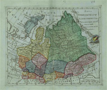
small atlas of the russian empire (1796)
old maps of tobolsk governorate
snippets of philipp apian's bairische landtafeln
old maps of bavaria
lepsius-projekt - maps
elethyia
volume 9 of le tour du monde
19th-century maps of egypt
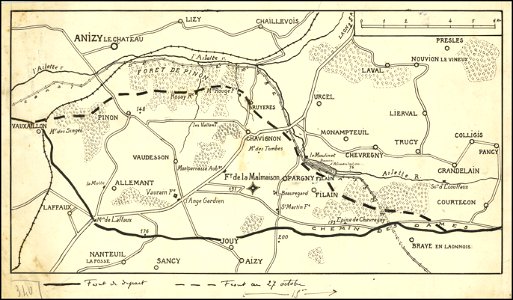
hand-drawn maps and views of world war i battlefields by h.m.
hand-drawn maps and views of world war i battlefields by h.m.
hand-drawn maps and views of world war i battlefields by h.m.
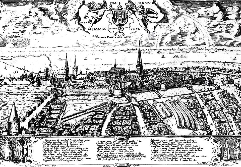
historic views of hamburg
staatsarchiv hamburg
bibliothèque municipale de reims
rès. g 153
watermills in leipzig
1650 in leipzig
islands of california
berger collection
maps in the library of congress
quanzhou fu yu di tu shuo
maps in the library of congress
quanzhou fu yu di tu shuo
maps in the library of congress
quanzhou fu yu di tu shuo
maps in the library of congress
quanzhou fu yu di tu shuo
maps in the library of congress
quanzhou fu yu di tu shuo
maps in the library of congress
quanzhou fu yu di tu shuo
maps in the library of congress
quanzhou fu yu di tu shuo
maps in the library of congress
quanzhou fu yu di tu shuo
maps in the library of congress
quanzhou fu yu di tu shuo
maps in the library of congress
quanzhou fu yu di tu shuo
maps in the library of congress
quanzhou fu yu di tu shuo
maps in the library of congress
quanzhou fu yu di tu shuo
maps in the library of congress
quanzhou fu yu di tu shuo
maps in the library of congress
quanzhou fu yu di tu shuo
maps in the library of congress
quanzhou fu yu di tu shuo
maps in the library of congress
quanzhou fu yu di tu shuo
maps in the library of congress
quanzhou fu yu di tu shuo
maps in the library of congress
quanzhou fu yu di tu shuo
maps in the library of congress
quanzhou fu yu di tu shuo
maps in the library of congress
quanzhou fu yu di tu shuo
maps in the library of congress
quanzhou fu yu di tu shuo
maps in the library of congress
quanzhou fu yu di tu shuo
maps in the library of congress
quanzhou fu yu di tu shuo
maps in the library of congress
quanzhou fu yu di tu shuo
8101 - 8200 of 33,112
Next page
/ 332